 |
Impact crater = a depression resulting from the high velocity impact of a projectile with larger body. In general the term is used for the approximately circular depression in the surface of a celestial body formed by the hyper-velocity impact of a smaller body with the surface. As these craters are made in general by meteorites the impact caters are also known as meteorite craters.
Due to the Earth's atmosphere the impact craters are relatively quickly wiped out by weather changes.
This page contains a list of the known still visible impact craters that can be found on the Australian soil. Compared with other web pages that are listing these craters my page is also providing a link to Google Maps, that will help you locate the impact site and in the same time view a satellite image. Click on the "See Map" link.
Click on the following link to see a map of Australia with all the impact locations that are listed bellow. Click on any of the blue baloons to find the name of the site.
|
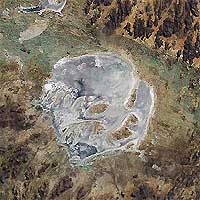 |
Acraman, South Australia
Location: 32°1'S, 135°27'E
Diameter: 160 km
Age: 570 million years
See map.
|
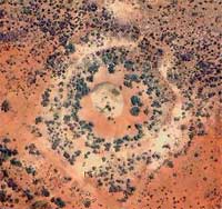 |
Boxhole, Northern Territory Australia
Location: 22°37'S, 135°12'E
Diameter: 0.170 km
Age: 30,000 years
See map.
|
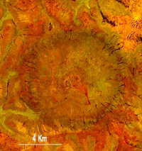 |
Connolly Basin, Western Australia
Location: 23°32'S, 124°45'E
Diameter: 9 km
Age: 60 million years
See map.
|
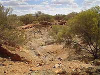 |
Dalgaranga, Western Australia
Location: 27°45'S, 117°5'E
Diameter: 0.021 km
Age: 30,000 years
See map.
|
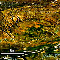 |
Goat Paddock, Western Australia
Location: 18°18.1'S, 126°40.6'E
Diameter: 5.1 km
Age: 60 million years
See map.
|
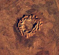 |
Gosses Bluff, Northern Territory Australia
Location: 23°50'S, 132°19'E
Diameter: 22 km
Age: 142.50 +- 0.50 million years
See map.
|
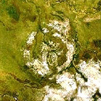 |
Goyder, Northern Territory Australia
Location: 13°27.8'S, 135°2.6'E
Diameter: 9-12 km
Age: over 120 million years
See map.
|
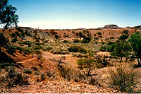 |
Henbury, Northern Territory Australia
Location: 24°35'S, 133°9'E
Diameter: 0.157 km
Age: 10,000 years
See map.
|
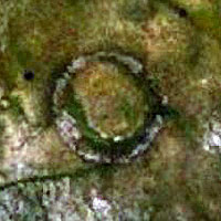 |
Liverpool, Northern Territory Australia
Location: 12°23'S, 134°2.9'E
Diameter: 1.6 km
Age: aprox 750 million years
See map.
|
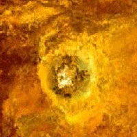 |
Mt Toondina, South Australia
Location: 27°56.4'S, 135°21.5'E
Diameter: 4 km
Age: aprox 100 million years
See map.
|
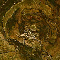 |
Spider, Western Australia
Location: 16°44'S, 126°5'E
Diameter: 13 km
Age: 570.00 million years
See map.
|
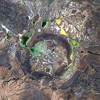 |
Teague aka The Horse Shoe structure, Western Australia
Location: 25°52'S, 120°53'E
Diameter: 30 km
Age: 1685.00 +- 5.00 million years
See map.
|
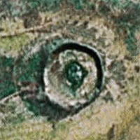 |
Wolfe Creek, Western Australia
Location: 19°18'S, 127°46'E
Diameter: 0.875 km
Age: 300,000 years
See map.
|
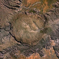 |
Piccaninny, Western Australia
Location: 17° 32'S 128° 25'E
Diameter: 7 km
Age: less then 360 million years
See map.
|
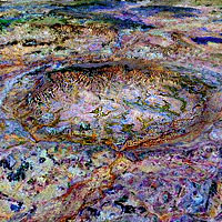 |
Strangways, Northern Territory Australia
Location: 15°12S' 133°35'E
Diameter: 25 km
Age: 646 ± 42 million years
See map.
|


